We build the maps your decisions run on.
MAPZX is a geospatial engineering studio. We design WebGIS applications, turn satellite and drone imagery into usable layers, and build the spatial data pipelines that keep them current.
Move across the map to read the terrain
What we do
Six kinds of spatial work, from the first survey to the app your team uses every day.
Geospatial app development
Custom WebGIS portals, mobile field apps and map APIs, built around the questions your users actually ask.
- Custom WebGIS
- Mobile apps
- API development
Remote sensing
Satellite, drone and aerial imagery processed into classified land cover, change detection and analysis-ready layers.
- Image processing
- Classification
- Change detection
Geospatial data engineering
Spatial databases and ETL pipelines that ingest messy sources and keep clean, queryable data flowing.
- Data pipelines
- Spatial databases
- ETL workflows
Spatial analytics
Pattern finding, predictive models and location intelligence that answer where, why and what next.
- Spatial analysis
- Predictive models
- Location intelligence
3D mapping and visualisation
Terrain, buildings and assets rendered as digital twins and interactive 3D scenes people can explore.
- 3D visualisation
- Digital twins
- Immersive maps
GIS consulting
Architecture reviews, platform choices and roadmaps for teams deciding how to invest in spatial technology.
- Strategy
- Architecture
- Best practices
Selected work
Live systems we designed and built for government, mining, environmental and energy clients.
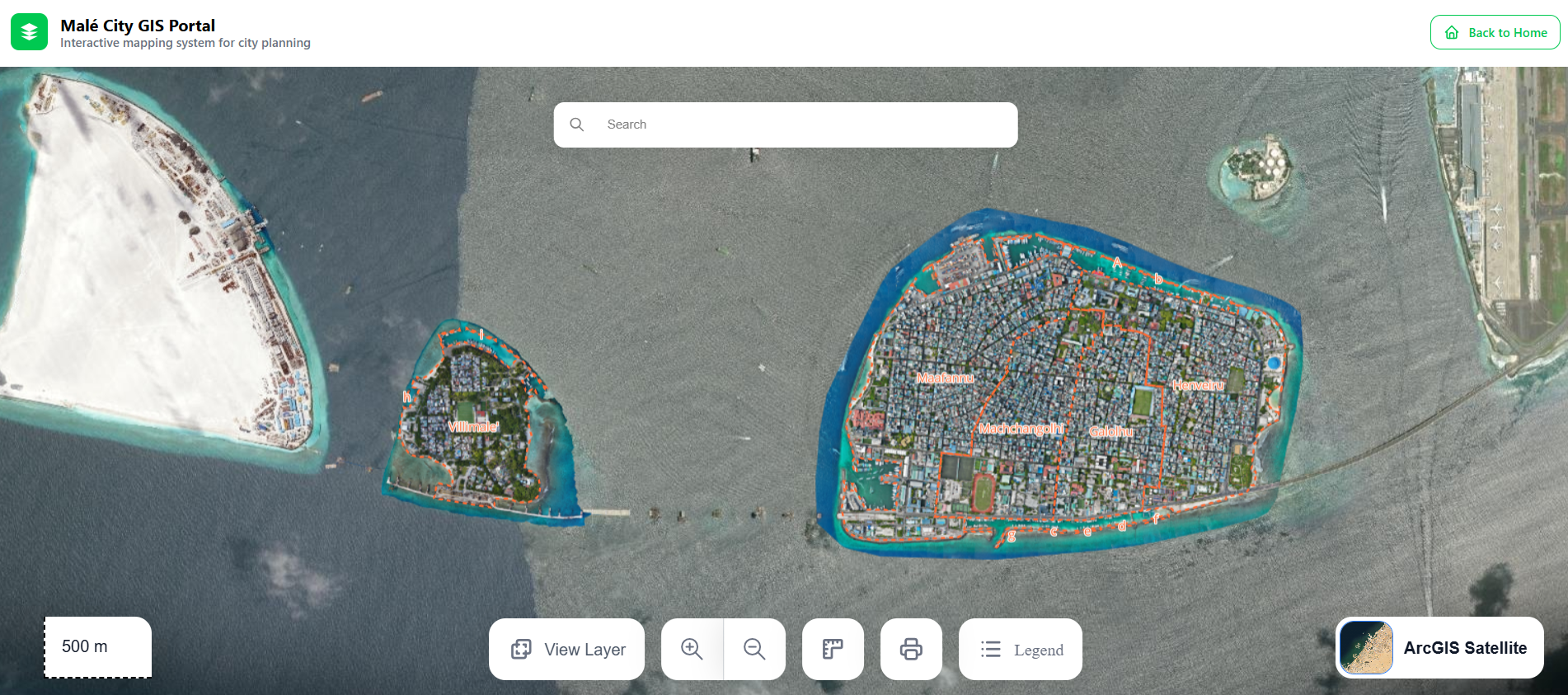
Government of Maldives
Malé City GIS Portal
An interactive planning map for Malé with satellite imagery, district boundaries, urban planning layers and instant search, built on ArcGIS.
WebGIS, ArcGIS, Urban planning, Satellite imagery
Open live site(opens in a new tab)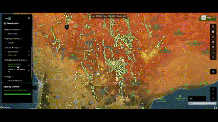
Mining and exploration
Detector Maps
A multi-layer exploration map for prospectors in Australia: geology, mining tenements, water streams and property data, each with its own opacity control.
Mining data, Multi-layer maps, Geology, PostGIS
Open live site(opens in a new tab)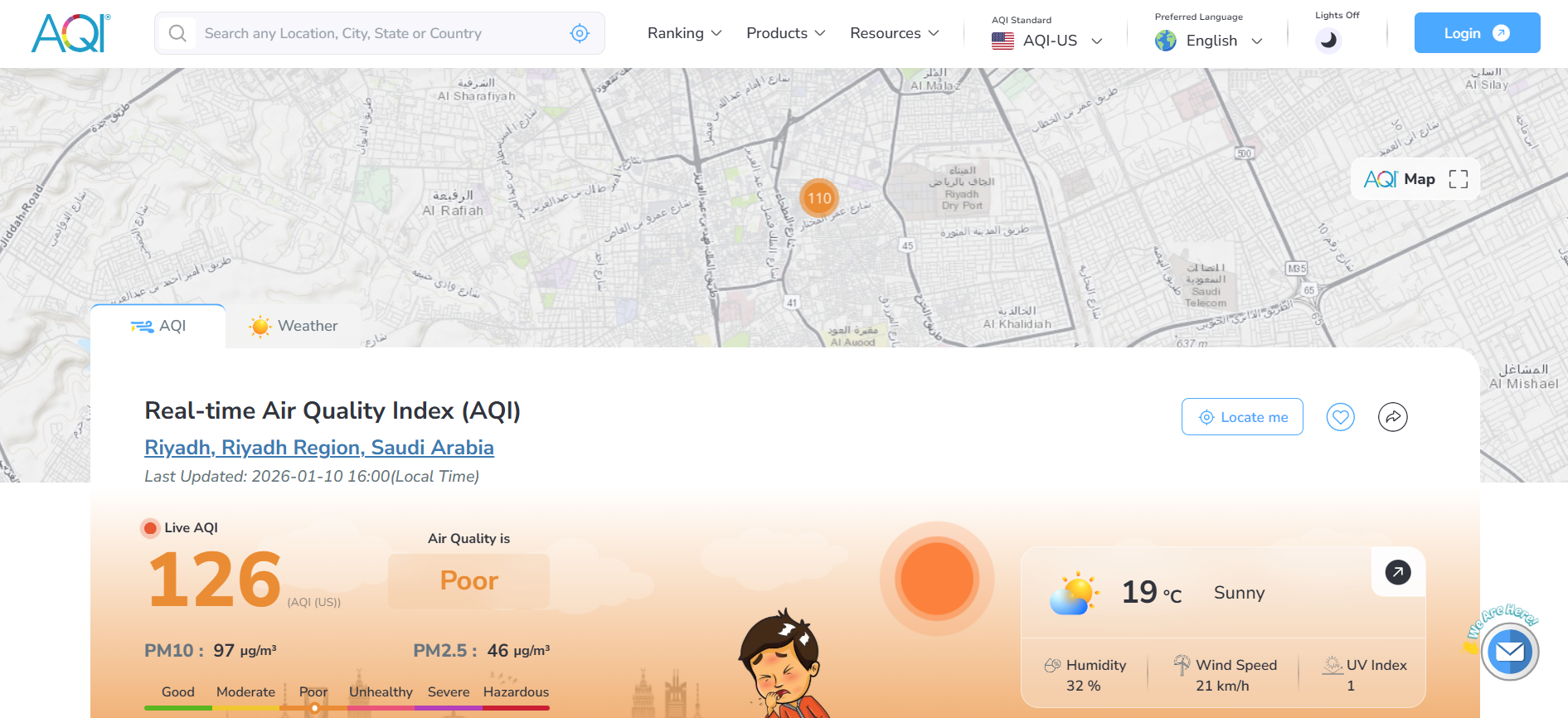
Environmental monitoring
AQI India
Real-time air quality for India and beyond, combining satellite data, IoT sensors and weather APIs into live AQI, PM2.5 and PM10 readings with health advice.
Real-time data, IoT sensors, Environmental, Weather API
Open live site(opens in a new tab)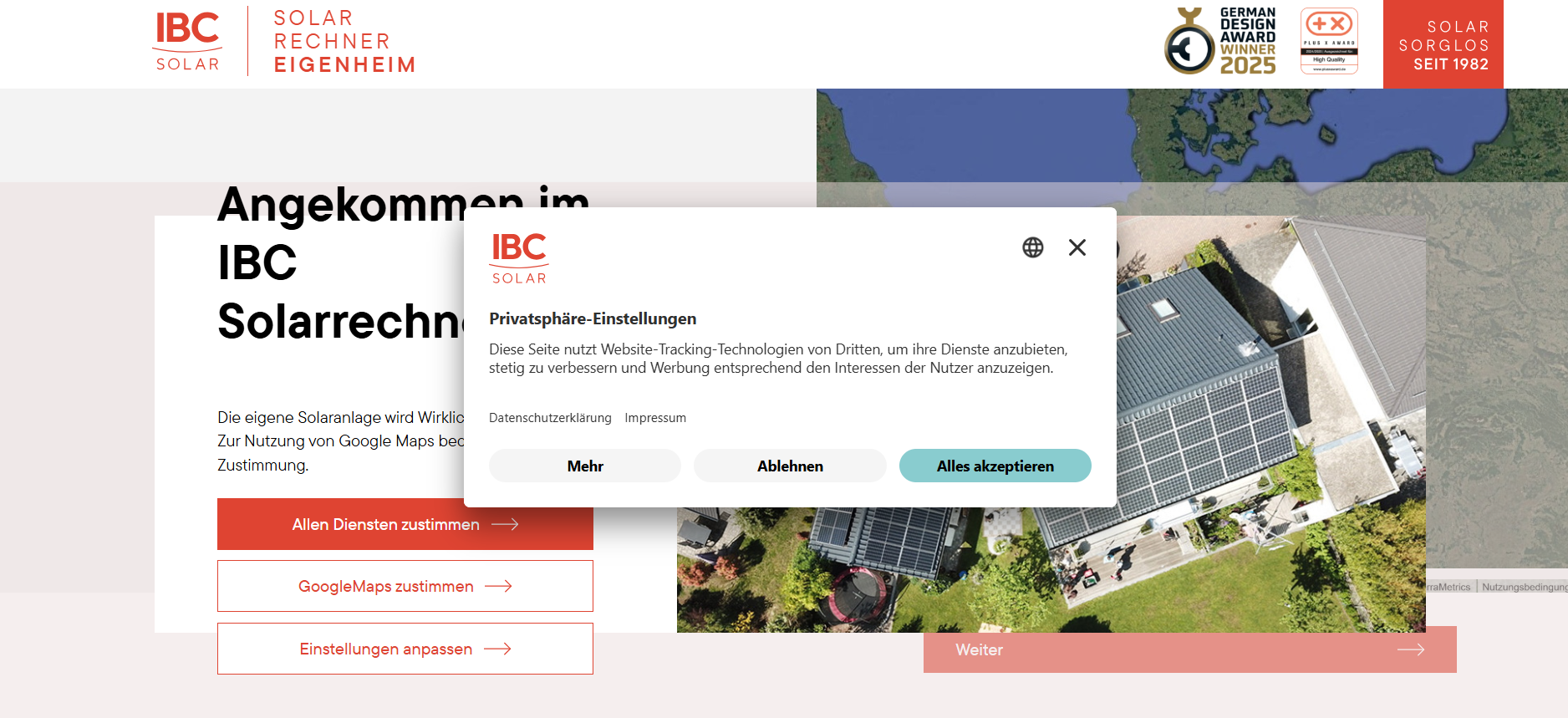
IBC Solar, Germany
IBC Solar Calculator
A rooftop solar planner that pairs satellite imagery with irradiation analysis to place panels and estimate yearly yield for homeowners.
Solar energy, Google Maps, Spatial analysis, GeoAI
Open live site(opens in a new tab)Have a dataset or a map problem of your own?
Tell us about itA small studio with deep spatial roots
MAPZX is a team of GIS engineers, remote sensing analysts and data engineers. We work directly with the people who will use what we build, so the map answers their real questions.
We are always glad to meet people who combine strong technical skill with curiosity about places.
Work with us- projects delivered for clients worldwide
- 150+
- client satisfaction
- 98%
- spatial data processed each month
- 50 TB+
- support for production systems
- 24/7
Tell us what you are mapping
Share a little about your data and what you want it to do. We reply within one working day.
- muimsd@gmail.com
- +92 303 9133338
- Where
- Remote, across time zones